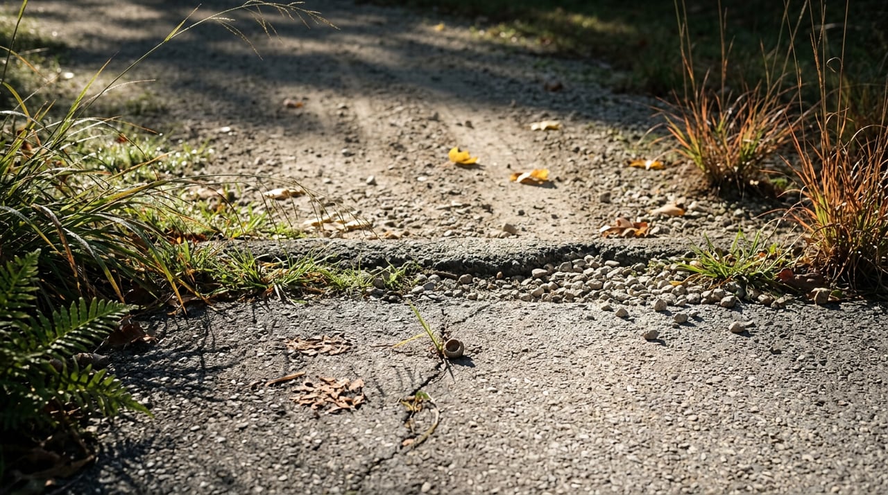
Park somewhere near South Main Street, find the spot where the chip-and-tar path picks up heading east, and start walking. For the first seven tenths of a mile, this is easy. The surface is smooth, the grade is gentle, and if you've lived in Tennessee Ridge for any length of time, you've probably walked this stretch a dozen times without giving it a second thought.
Then the pavement stops.
What most people don't realize, because there's no sign to tell them, is that the trail doesn't end where the tar does. It changes. The smooth path becomes a grass-and-gravel road that keeps going straight for another two and a half miles, and somewhere past that, it hands off entirely to a second trail with its own name: the Betsy Lignon Walking Trail. Two trails, one route, no marker at the seam. If you've only ever walked the paved part and turned back, there's more out there.
Why the reviews don't agree with each other
Search for this trail online and you'll find a strange mix of opinions. Some hikers call the walk unremarkable, saying the town-facing stretch didn't hold their interest. Others describe getting far enough in that they lose every sound of traffic and civilization, calling it a genuinely quiet, wooded walk. Both are right. They're just describing different halves of the same trail.
The paved portion near town is functional but plain, a straight shot with a modest slope. Once the gravel starts and the trees close in, the character changes. Reviewers who logged the route on AllTrails describe a gradual downhill on the way out, meaning the return trip climbs slowly rather than steeply, since the route only gains about 351 feet of elevation. That's a small enough change that most walkers won't notice it as a climb at all, which is part of why the trail reads as easy even though it's longer than a quick evening stroll.
A rough map of what's actually out there
Based on how hikers have logged the route, here's what the mile markers look like heading east from South Main:
| Distance from the start | What you'll find |
|---|---|
| 0.0 miles | Unmarked trailhead near South Main Street. No official parking area here, so plan to leave your car on a nearby street. |
| 0.7 miles | The chip-and-tar pavement ends. The trail becomes a grass-and-gravel road. |
| Roughly 1.4 miles | You'll pass a large hog farm. Expect an unpleasant smell for about half a mile here, especially on warm or still days. |
| Around 3.1 miles | Many hikers turn around here, believing this is the end of the trail. |
| About a quarter mile past that | The Betsy Lignon Walking Trail actually begins. This is where the trail's more isolated, wooded character shows up. |
These distances come from people who've actually walked it and reported back, not from an official trail map, so treat them as a good working guide rather than a survey. Still, the shape of the route is consistent across accounts. Pavement, then gravel, then a quiet handoff to a second trail that most people never find because nothing marks it.
Why there's a trail here at all
The route exists because of what used to run through this same corridor. Tennessee Ridge was chartered in 1960, and in its earlier years, fruit orchards and the railroad were the town's main business. When the tracks came out, the right-of-way didn't go to waste. It became the walking path that runs through town today, which is part of why the route feels so straight and level for its first stretch. Old rail beds were graded for trains, not hikers, and that gentle, consistent grade is exactly what makes the walk feel easier than its length suggests.
If you grew up here or have lived here a while, that history probably rings a bell even if you've never thought about it while walking. The trail isn't just infrastructure the town added. It's a reuse of something that was already there, which is a pretty common story in small towns that once depended on rail lines that no longer run.
What to actually expect if you go
A few practical notes, since none of this is posted at the trailhead itself. There's no dedicated parking lot at either end, so you're looking for street parking near South Main on one side. Dogs are welcome as long as they're leashed. The trail is rated easy by hikers who've logged it, and it's not heavily trafficked, so if you're looking for a walk where you're unlikely to pass more than a person or two, this delivers that. Bring bug spray if you're going during mosquito or tick season, since the gravel stretch runs close to fields and tree cover for most of its length.
If you're only up for a short walk, the paved 0.7 miles and back makes a fine out-and-back walk for an evening after dinner. If you've got more time and want to see what people mean when they say the far end feels remote, that means committing to the full out and back, gravel, hog farm smell and all, to reach the point where Betsy Lignon actually starts.
Pair it with dinner on the same street
If you're walking the trailhead near South Main anyway, The Ridge Restaurant sits right there on South Main Street. Recent reviews describe it as having improved noticeably under new management, with regulars saying they've never had a bad meal there. It's a reasonable bookend to a trail walk, especially if you're doing the shorter paved stretch before the sun goes down rather than the full three-mile-plus trek to the second trail.
None of this is a reason to move to Tennessee Ridge or a pitch about property values. It's just what's actually out there if you live here and have wondered where that gravel road behind the pavement leads. Most people find out by accident, usually because they kept walking past the point where they meant to turn around.
If you're curious about what your home might be worth, or you're weighing a move within Houston County or the surrounding small towns Emerald Key Realty serves, we're happy to talk through it. Request a free home valuation from Emerald Key Realty whenever you're ready, no pressure, no obligation, just a conversation grounded in the same kind of local detail we look for on every trail, street, and listing we cover.